BrianD
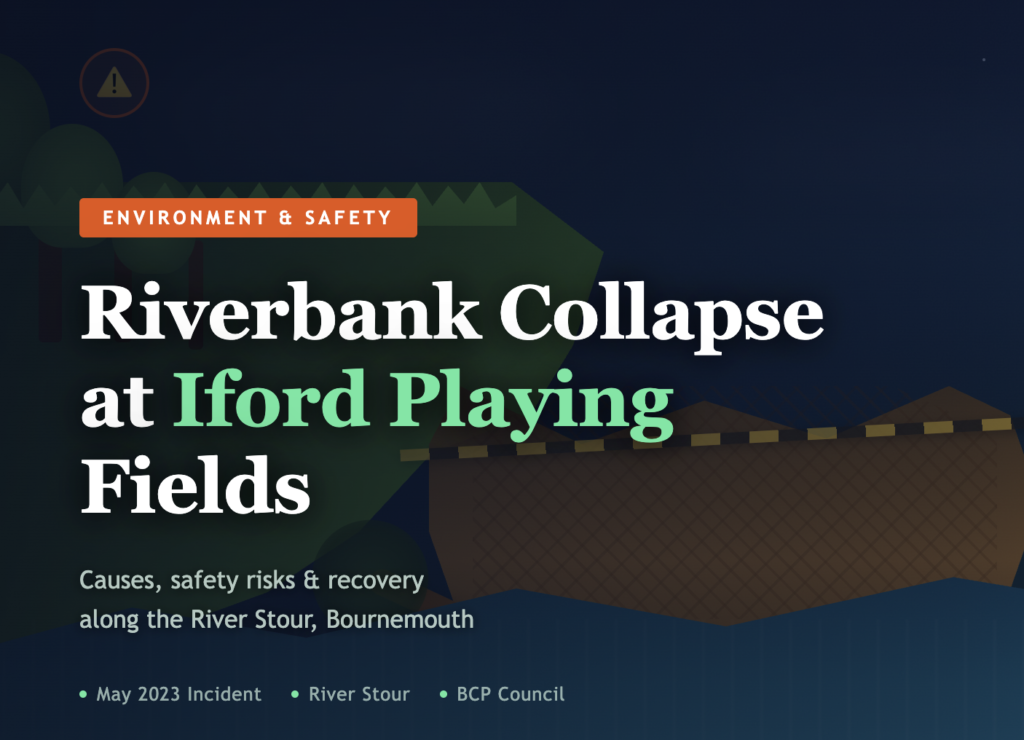
What Happened at Iford Playing Fields?
Iford Playing Fields is one of Bournemouth’s most valued community green spaces. Situated in the suburb of Iford and running alongside the River Stour, the fields are used daily for football, rugby, dog walking, cycling, paddleboarding, and riverside walks. For many local families, it is simply part of everyday life.
That familiar landscape changed dramatically when a significant section of riverbank gave way. Local resident Nicky Adams first documented the damage on May 29, 2023, while walking her dogs along the riverside path. What she found was striking — a large stretch of riverbank had vanished overnight, replaced by a steep, unstable drop. Mature trees that had stood beside the river for years had toppled sideways, their roots exposed, their trunks partly submerged in the River Stour below.
The collapse is believed to have occurred around May 27, 2023, following a period of strong winds and prolonged unsettled weather across Dorset. BCP Council (Bournemouth, Christchurch and Poole) acknowledged the incident and described it as part of natural river processes, while beginning assessment of the affected section. For residents, however, the sudden and dramatic nature of the collapse raised serious questions about safety, maintenance, and the future of this much-loved public space.
Where Exactly Is the Affected Area?
The collapse occurred along a stretch of the River Stour adjacent to Iford Playing Fields, particularly near the train bridge that sits opposite Bailey Bridge Marina. This section of the riverbank had long been popular with walkers and cyclists using the riverside path that skirts the edge of the fields.
Iford sits within a natural floodplain. The River Stour at this point is subject to both upland river flow and tidal influence from its downstream connection to Christchurch Harbour. This combination of freshwater and tidal pressure makes the banks in this area inherently more susceptible to erosion and instability than banks found on purely non-tidal river stretches.
What Caused the Riverbank to Collapse?
The collapse at Iford Playing Fields was not caused by a single event. It was the result of several environmental and human factors that had been quietly building over months and years, finally reaching a point where the bank could no longer hold.
1. Prolonged Heavy Rainfall and Soil Saturation
In the weeks before the collapse, Dorset experienced repeated rainfall that prevented the soil from drying out between events. When soil becomes fully saturated, it gains weight and loses the friction between particles that normally holds it together. At Iford, this prolonged saturation significantly weakened the bank’s structural integrity, making it far more vulnerable to the forces acting on it from both the water below and the weight of trees and ground above.
2. River Erosion Undercutting the Base
The River Stour constantly exerts lateral pressure on its banks. Over time, the flowing water gradually removes material from the base of the bank — a process called undercutting. Once enough base material is removed, the bank above loses its support and collapses. At Iford, years of gradual undercutting combined with the saturated conditions created the conditions for a sudden large-scale failure rather than slow incremental erosion.
3. Strong Wind and Tree Instability
The collapse coincided with a period of strong winds across the region. Mature trees growing close to the riverbank act as anchors in stable conditions, with root systems binding the soil. However, when soil is already waterlogged and root systems have been compromised by years of erosion, strong winds can reverse this protective role. The wind force acting on tree canopies effectively levers unstable sections of bank, accelerating failure. Witness accounts confirm that multiple trees fell into the River Stour as the embankment gave way.
4. Vegetation Loss and Root System Damage
Recreational use of the fields over many years has resulted in gradual loss of riverside vegetation. Path maintenance, foot traffic close to the bank edge, and the removal of undergrowth to improve access all reduce the density of root networks that naturally bind the soil. Without healthy root systems, the bank becomes increasingly dependent on soil cohesion alone — a far weaker defence against erosion and saturation.
5. Drainage Pressures
Local drainage infrastructure in parts of Iford is aging. When drainage systems become overwhelmed during heavy rainfall, groundwater accumulates beneath the surface in zones close to the riverbank. This subsurface saturation is often invisible from above but creates hidden instability that can persist long after surface conditions appear to have dried out. The combination of poor drainage and riverside location placed particular stress on this section of the Iford Playing Fields bank.
What Were the Immediate Impacts?
The physical consequences of the collapse were significant and immediate. A wide section of the riverbank — several metres in length — was destabilised and lost into the River Stour, leaving behind an exposed scar of raw soil and uprooted vegetation. The popular riverside footpath was compromised in the affected area, and BCP Council moved quickly to cordon off the highest-risk zones with barriers and safety signage.
Fallen trees now lie partly in the river, creating potential hazards for paddleboarders and swimmers who regularly use this stretch during warmer months. The debris also increases the risk of debris dams forming, which can alter local water flow patterns and potentially increase erosion at other points downstream.
For the community, the impact was both physical and emotional. A space that many people had walked, played, and spent time in for years was suddenly altered in a way that demanded caution rather than relaxation. Social media posts from local Facebook groups spread quickly, with residents expressing concern about safety, responsibility, and the adequacy of previous maintenance.
Environmental Consequences for the River Stour
Beyond the immediate public safety concerns, the collapse introduced significant environmental disruption to the River Stour ecosystem. Large quantities of sediment entered the river during and after the collapse, increasing turbidity — the cloudiness of the water caused by suspended particles. Elevated turbidity affects aquatic life in several important ways.
- Fish and invertebrate populations are disrupted when sediment clogs gill structures and reduces oxygen availability
- Aquatic plants are uprooted or smothered, reducing the food and shelter they provide for river species
- Light penetration is reduced, affecting photosynthesis and the river’s food chain at its base
- Nutrient imbalances can develop as decomposing organic material from fallen trees releases compounds into the water
The riparian habitat — the zone of vegetation immediately alongside the river — was also directly damaged. This habitat supports a wide range of bird species, insects, and small mammals that depend on the complex mix of water, bank vegetation, and tree cover. Its disruption reduces local biodiversity and weakens the ecological resilience of this section of the Stour corridor.
The Environment Agency has provided oversight on the hydrological and ecological impacts, with monitoring of water quality and flow conditions ongoing in the period following the collapse.
What Has Been Done Since the Collapse?
BCP Council confirmed the incident and began formal assessment of the affected riverbank. Immediate measures focused on public safety, including the installation of fencing and barriers along the most unstable sections and the erection of warning signage directing walkers away from the compromised bank edge.
Longer-term recovery planning has involved a combination of approaches. Replanting of native trees and shrubs has begun in sections of the bank where vegetation was lost, as root systems are one of the most effective natural stabilisers for riverside soil. Environmental consultants and riverbank protection specialists have been involved in assessing what engineered interventions — such as rock armour, bioengineering methods, or bank regrading — may be appropriate for the most severely affected sections.
Community volunteers have also played a role in monitoring and reporting, with local groups continuing to observe and document conditions along the bank. Drone surveys and ground photography have been used to track progress and identify any further signs of instability.
Wider Context: Is This Part of a Bigger Pattern?
The Iford Playing Fields collapse does not sit in isolation. Dorset has experienced a series of significant flood and erosion events in recent years, including the Christmas floods that affected Christchurch and surrounding areas, and ongoing concerns about River Stour flooding further upstream. The collapse fits into a broader pattern of increasing riverbank instability across the UK, driven by the intersection of climate change, aging infrastructure, and accumulated deferred maintenance on riverside public land.
Changing rainfall patterns across southern England are producing more intense, shorter rainfall events alongside longer dry periods. This combination — intense saturation followed by drying and cracking — is particularly damaging to riverbank soil structures. Engineers and environmental planners note that many UK riverbanks, particularly those adjacent to recreational spaces, were shaped under climate conditions that no longer represent current reality.
What Long-Term Solutions Are Needed?
Addressing riverbank instability at Iford Playing Fields — and preventing similar incidents elsewhere — requires a combination of engineered, ecological, and management approaches.
- Regular professional inspection of riverside banks for early warning signs including surface cracking, root exposure, path subsidence, and leaning trees
- Native riparian vegetation planting programmes that restore root density and soil binding capacity over time
- Drainage infrastructure review and upgrade to prevent subsurface water accumulation in bank zones
- Targeted bank reinforcement using bioengineering techniques such as willow spiling, coir rolls, or rock armour placement at highest-risk sections
- Public access management that reduces foot traffic pressure on the most sensitive bank areas, particularly after heavy rainfall
- Hydrological monitoring using sensors and regular survey photography to detect incremental changes before they reach critical failure point
- Community reporting programmes that engage regular park users in early hazard identification
Balancing ecological restoration with targeted engineering is the approach most widely recommended by UK riverbank specialists. Pure engineering solutions such as concrete revetment are effective in the short term but can transfer erosion pressure to adjacent sections and damage the riparian habitat. Bioengineering approaches that work with natural processes tend to produce more durable and ecologically beneficial outcomes.
Staying Safe at Iford Playing Fields
For residents and visitors continuing to use Iford Playing Fields while restoration work is ongoing, a number of practical safety measures apply.
- Always follow current signage and barriers — do not approach or step over safety cordons near the riverbank
- Avoid walking close to the bank edge, particularly after periods of heavy rainfall when soil saturation increases the risk of further slippage
- If you notice new cracks in paths, sinking ground, leaning trees, or exposed roots near the riverbank, report them to BCP Council immediately
- Keep dogs on leads near the collapsed section and away from the unstable bank edge
- Paddleboarders and swimmers should be aware of submerged tree debris in the River Stour near the affected section
Conclusion
The riverbank collapse at Iford Playing Fields was a dramatic and disruptive event that transformed a familiar community landscape almost overnight. Witnessed first by a local dog walker in late May 2023, the collapse exposed the accumulated pressures of rainfall, erosion, vegetation loss, and drainage strain that had been building along this section of the River Stour for years.
The incident is a clear illustration of how riverbank stability — often taken for granted in public recreational spaces — depends on a complex combination of natural processes, maintenance investment, and ecological health. As climate patterns continue to intensify and existing infrastructure ages, incidents like this are likely to become more frequent across the UK unless proactive management strategies are adopted.
For Iford, recovery is underway. For the wider community of Bournemouth, Christchurch, and Dorset, the collapse serves as a timely reminder that the green spaces we value most are only as resilient as the environments that support them.
The collapse was caused by a combination of prolonged heavy rainfall saturating the soil, years of river erosion undercutting the bank base, strong winds destabilising trees with weakened root systems, and loss of riverside vegetation. These factors combined to weaken the bank structure until it failed suddenly in late May 2023.
Iford Playing Fields is located in the suburb of Iford in Bournemouth, Dorset, UK. The fields run alongside the River Stour and are used for football, rugby, walking, cycling, and water activities. The collapse occurred near the train bridge opposite Bailey Bridge Marina.
Many areas of Iford Playing Fields remain accessible and safe. BCP Council has cordoned off the highest-risk sections near the collapsed bank with barriers and signage. Visitors should follow all current safety signage, avoid the bank edge especially after rainfall, and stay away from any fenced-off zones.
BCP Council acknowledged the incident and began formal assessment and safety measures immediately after the collapse. Recovery work includes safety barriers, native vegetation replanting, environmental monitoring, and assessment of longer-term stabilisation options in consultation with environmental and engineering specialists.
While some degree of riverbank erosion is a natural process, the scale and suddenness of collapses like this can be significantly reduced through regular professional inspections, native riparian planting programmes, drainage infrastructure upgrades, and bioengineering stabilisation of the most vulnerable bank sections.
The collapse introduced significant sediment into the River Stour, increasing turbidity and disrupting aquatic ecosystems. Fish, invertebrate populations, and aquatic plants were all affected. The loss of riparian habitat alongside the bank also reduced local biodiversity. The Environment Agency has been monitoring water quality and ecological recovery since the incident.